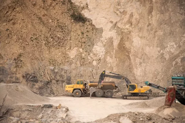
Mining has always been an important component of the global economy. Mineral rights exploration, the process of finding and locating prospective mining locations, has traditionally been a time-consuming and resource-intensive job. However, technological advancements have revolutionised mineral rights research, making the process more efficient, cost-effective, and precise.
In this article, we will look at how technology has influenced mineral rights exploration.
What Is Mineral Rights Exploration?
The process of finding and locating prospective mining locations is known as mineral rights exploration. Mineral rights exploration’s main aim is to determine the amount, quality, and ease of minerals that can be taken from a particular region. This process is critical for the mining industry because it allows mining firms to find profitable mining sites while also assisting governments in regulating and managing the mineral extraction process.
The Traditional Method Of Exploration For Mineral Rights
Traditional mineral rights exploration methods included geological studies, sampling, and drilling. These techniques were time-consuming and necessitated a significant investment of resources. They were also limited in terms of precision and speed. Drilling, for example, was frequently used to investigate the subsurface, but it was costly and had limited precision.
Technology’s Advancement In Mineral Rights Exploration
The advent of technology has transformed the way mineral rights research is carried out. Mineral rights buyers can get the benefits of mineral exploration more quickly, accurately, and cost-effectively thanks to improved technologies.
1. Remote Sensing
Remote sensing technology collects information about the Earth’s surface and interior without requiring direct interaction. This technology is widely used in the discovery of mineral rights to locate potential mineral resources. Aerial photography, satellite images, and airborne assessments are examples of remote sensing technology.
2. Geographical Information System (GIS)
A Geographical Information System (GIS) is a computer-based instrument that allows geographic data to be stored, manipulated, analysed, and displayed. In mineral rights research, geographical information systems (GIS) are widely used to store and analyse geological data, identify potential mineral reserves, and generate maps.
3. Exploration of the Earth’s Interior
Geophysical exploration is a technique of mineral rights research that identifies prospective mineral deposits by utilising the physical properties of the Earth. This technique employs a variety of geophysical tools to detect underground physical characteristics such as electrical conductivity, magnetic susceptibility, and seismic wave propagation.
4. Ground Penetrating Radar (GPR)
Ground-penetrating radar (GPR) is a geophysical technique that images the subsoil using high-frequency electromagnetic waves. In mineral rights research, GPR is frequently used to find buried deposits of minerals such as gold, copper, and zinc.
5. Drone Technology
Drones, also known as autonomous aerial vehicles (UAVs), have grown in popularity in mineral rights research. Drones can be outfitted with cameras, sensors, and other tools to gather data from inaccessible and distant locations. This technology is especially helpful for locating possible mineral deposits in remote areas.
6. Big Data and Artificial Intelligence (AI)
Big data and artificial intelligence (AI) are becoming increasingly essential in the discovery of resource rights. These technologies permit the processing and analysis of vast quantities of data, making mineral exploration more precise and effective. AI can also be used to develop predictive models, which can aid in the identification of prospective mineral reserves before they are found using conventional methods.
The Future Of Mineral Rights Exploration Technology
The future of technology in mining rights research appears to be bright. Machine intelligence, blockchain, and quantum computing are all anticipated to have a major effect on the mining business. These tools can enhance mining rights research accuracy, efficiency, and safety.
Final Words
Technology has transformed the way mineral rights research is carried out. Remote sensing, GIS, geophysical exploration, ground-penetrating radar, drone technology, as well as big data and AI, are improving the efficiency, precision, and cost-effectiveness of mineral discovery. The mining industry can use these technologies to find and harvest minerals from previously unreachable places.
FAQs
What exactly is mineral rights exploration?
The process of finding and locating prospective mining locations is known as “mineral rights exploration.”
What is the significance of mining rights exploration?
Mineral rights exploration is critical because it allows mining firms to find lucrative mining sites while also assisting governments in regulating and managing the mineral extraction process.
What effect has technology had on mining rights exploration?
Technology has transformed mineral rights research, making it more efficient, precise, and cost-effective.
What kinds of equipment are used in mining rights exploration?
Remote sensing, GIS, geophysical investigation, ground-penetrating radar, drone technology, big data, and AI are all examples of technology used in mineral rights research.
What role will technology play in mining rights research in the future?
Emerging technologies such as machine learning, blockchain, and quantum processing are anticipated to have a major effect on the mining business in the future.


