


The National Hurricane Center (NHC) is currently keeping a close watch on a weather disturbance in the Atlantic Ocean. This system exhibits signs of potential development in the coming days, creating concern among meteorologists and coastal communities alike. As the hurricane season progresses, the implications of this system could be significant.
What is the current status of the disturbance?
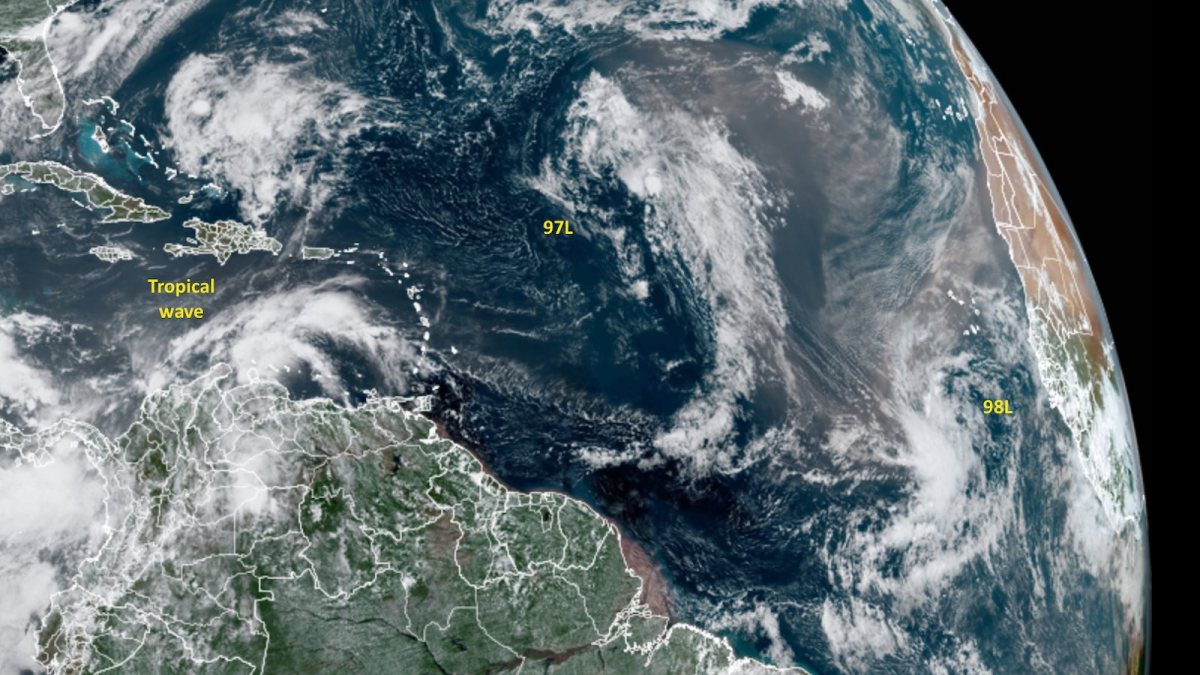
The disturbance, labeled as Invest 92L, is located a few hundred miles east of the Lesser Antilles. According to the latest NHC advisory, the system has a 40% chance of developing into a tropical cyclone within the next 48 hours. Meteorologists are monitoring its movement and pattern as it interacts with various atmospheric conditions.
Overview of Tropical Cyclones
Tropical cyclones are intense circular storms that originate over warm tropical oceans and are characterized by low atmospheric pressure, high winds, and heavy rain. The NHC classifies tropical cyclones into three categories based on their wind speeds:
| Category | Wind Speed (mph) | Description |
|---|---|---|
| 1 | 74-95 | Very dangerous, with a risk of damage to homes and trees. |
| 2 | 96-110 | Extremely dangerous, posing significant risk to life and property. |
| 3 | 111-129 | Devastating damage will occur, with a high likelihood of complete destruction. |
Factors Influencing Development
Several factors contribute to the development of tropical cyclones. For Invest 92L, warm sea surface temperatures and favorable atmospheric conditions increase the likelihood of intensification. Current data indicates that sea surface temperatures in the region are above 80°F, which is conducive to cyclonic activity.
Additionally, the system is moving west-northwest at about 15 mph. The environment appears conducive for further development, but interaction with wind shear and dry air may hinder its progress.
Monitoring and Forecasting
The NHC uses a combination of satellite imagery, buoy data, and computer models to monitor and predict the path of tropical disturbances. The following table highlights the various models that contribute to our understanding of Invest 92L’s trajectory:
| Model Name | Key Features |
|---|---|
| GFS (Global Forecast System) | Offers a global perspective with updates every 6 hours. |
| Euro Model | Known for its accuracy in forecasting. |
| HWRF (Hurricane Weather Research and Forecasting) | Focuses on hurricanes and tropical storms, providing detailed simulations. |
Current forecasts suggest that Invest 92L may approach the Caribbean islands by midweek. Communities in areas like Puerto Rico and the Dominican Republic are on alert, preparing for possible impacts.
Community Preparedness
Preparedness plays a crucial role in mitigating the impacts of tropical systems. Residents in coastal areas should stay informed through local news and the NHC’s updates. Key actions include:
- Understanding evacuation routes: Local authorities often issue evacuation orders based on storm forecasts. Knowing routes in advance can save lives.
- Stocking emergency supplies: Essential items include water, non-perishable food, medications, flashlights, batteries, and first-aid kits.
- Creating an emergency plan: Families should have a plan for communication and meeting points in case of evacuation.
What to Expect Moving Forward
As the week progresses, the NHC’s updates will provide insight into the disturbance’s evolving status. Meteorologists anticipate increased monitoring efforts as the system approaches the Caribbean. Residents along the U.S. East Coast should remain vigilant, as patterns indicate possibilities of shifting paths based on atmospheric conditions.
The NHC will continue to provide forecasts and advisories regarding Invest 92L. To stay updated, individuals can visit the NHC’s official website or follow their social media channels.
Conclusion
Monitoring the disturbance in the Atlantic is crucial as it has the potential to develop into a tropical cyclone. The NHC’s focus on Invest 92L emphasizes the importance of preparedness and awareness during hurricane season. With early detection and proper precautions, communities can better shield themselves from potential impacts.
Resources
For more detailed information on the disturbance and tropical weather updates, visit the following:
As meteorologists continue to assess the situation, staying informed is vital for safety and preparedness.


 is currently keeping a close watch on a weather disturbance in the Atlantic Ocean. This system exhibits...)